About Mourik Infra
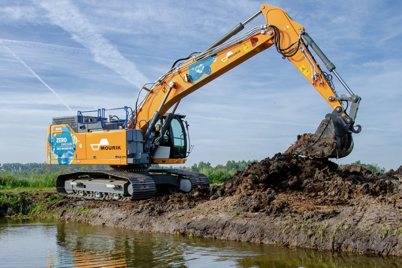
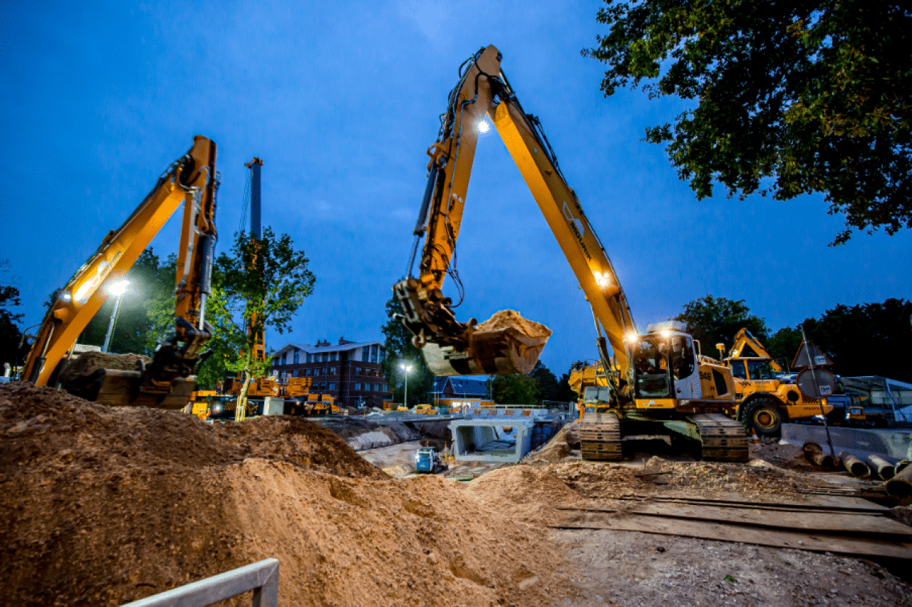
Mourik Infra is part of Mourik, one of the largest family-owned companies in the Netherlands with experience in infrastructure, industry and the environment. Mourik Infra engages in the construction, management and maintenance of roads and engineering structures, such as bridges, viaducts and tunnels. This work is carried out from multiple offices throughout the Netherlands. Within the maintenance contracts for Rijkswaterstaat, dozens of employees work with Ultimo and Esri ArcGIS every day.
Challenges with regards to maintenance work
In 2017, Mourik Infra decided to focus on maintenance work after winning a contract from Rijkswaterstaat. Right from the start, this meant a lot of paperwork and reporting in Excel sheets. Naures describes three challenges that had to be solved:
Digitizing maintenance and registration
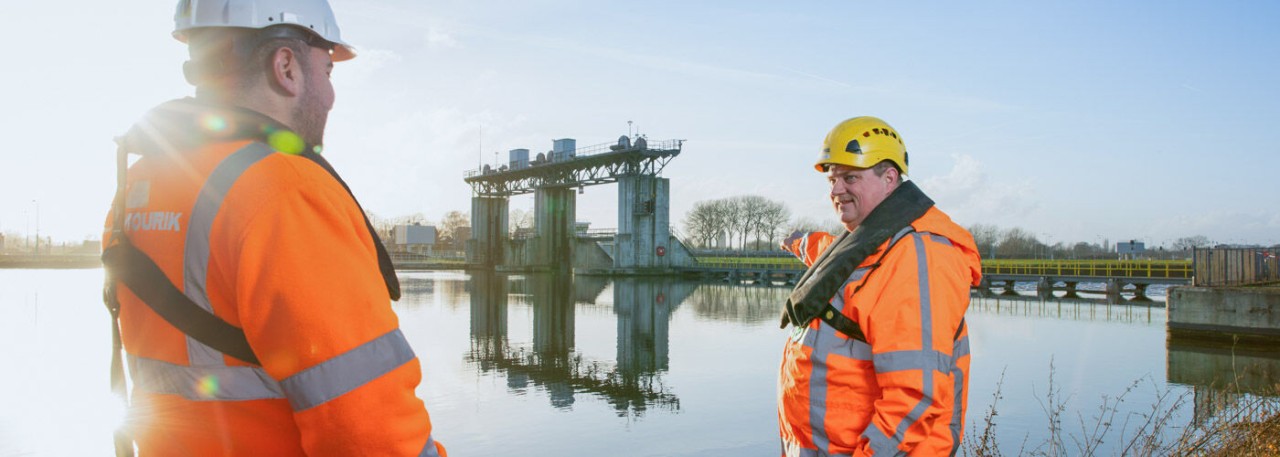
To efficiently manage all operations and associated assets, paperwork had to be replaced with digital processes.
Getting a dynamic area under control
Rijkswaterstaat's work area includes hundreds of miles of highways, greenways, water drains and engineering structures. Every area is constantly changing: trees are pruned or cut down, roads repaved or traffic situations modified. An additional challenge? Other market players are also making changes.
Dealing with different management strategies
Each object requires a unique maintenance approach. For example, a bridge must continue to function until a specific date and a road section needs a new layer of asphalt periodically, depending on its use. This meant that a data-driven approach was necessary.
The start of the journey
Naures: "Our journey began with the need to not just capture maintenance data but actually leverage it. We were looking for a system that would allow our field staff to register location data and inspection data directly in the field as well as provide feedback to the organization. From my experience with Esri's GIS technology, I knew that ArcGIS could offer us not only the spatial grip we needed, but also the flexibility to tailor the system to our workflow. That combination of power, scalability and usability gave us the confidence to build on this."
Essential steps towards data-driven maintenance
ArcGIS was not randomly chosen as the GIS platform; "it offered us the opportunity to make spatial data an integral part of the maintenance process. Mobile accessibility via smartphones and iPads allowed us to collect and analyze location data, inspection data and reports directly from the field for the first time. That was an essential step for us toward data-driven maintenance."
A concrete example is the rainwater drainage pit. Naures had the following to say about this: "The location of such a well has a direct impact on maintenance needs. For example, a well at a low point or under a bridge is more susceptible to clogging and is often less accessible. Thanks to ArcGIS, we accurately map such factors. By combining reports, inspection data and map layers, we gain insight into the actual maintenance burden per location and can plan more effectively and efficiently."
Over time, the ambition grew at Mourik to go beyond just registering maintenance. The desire arose to be able to strategically plan maintenance as well, underpinned by data. "ArcGIS gave us the location insight we needed, but structured planning, maintenance strategies and reporting required an additional layer."
"We wanted to collect data once, but be able to use it multiple times," Naures explains. "For example, so that the Contract Management department immediately has the right data when Rijkswaterstaat asks questions. That requires a system where processes and data come together."
Thus, Ultimo came into the picture as an Enterprise Asset Management system that could seamlessly integrate with our GIS environment - and at the same time fulfill our own ambition to work according to the principles of ISO 55001.
Choosing Ultimo
Naures: "We knew Ultimo was the market leader in maintenance planning. We can automatically send an anomaly in an asset to Rijkswaterstaat because they also work with Ultimo. In addition, we wanted to be able to capture details at part level. Consider a bridge: it consists of numerous parts such as moving parts, drainage systems and the road surface. We are now registering that in detail. As a result, the needed parts can be delivered efficiently and on time."
Precision and integration lead to smart and efficient management
A striking example is the reporting of animals hit by cars. Mourik is required to report this to the National Database on Flora and Fauna (NDFF). Previously, this was a manual and error-prone process. Now there is an automatic link: as soon as a report comes in, the ecologist can verify it. The data is then automatically forwarded to the NDFF via an API. It shows how precision and integration lead to smart and efficient management.
Results of the collaboration
Naures emphasizes that working with Esri and Ultimo has broken down silos between departments. "Environmental Management, Technical Management and Contract Management now work in one system. We know exactly who is responsible for what, even if it involves external parties."
One integrated source of truth
All data related to assets, operations, and scheduling are consolidated into a single system, creating transparency and alignment between internal and external stakeholders while enabling data-driven maintenance strategies.
Improved maintenance quality and predictability
Location-based data capture ensures maintenance activities are performed consistently and with greater accuracy, resulting in improved control, reliability, and long-term asset performance.
Smart and compliant operations
Through smart automation and adherence to international standards such as ISO 55001, Mourik demonstrates operational excellence and compliance — for example, by automatically reporting wildlife incidents to the NDFF via API.
Ready for the future
In a short time, Mourik Infra has built a platform that links all maintenance processes from registration to strategic management. Thanks to the integration of ArcGIS and Ultimo, it is not only possible to record work, but also to recognize patterns, carry out preventive maintenance and manage based on data rather than assumptions. "The next step lies in the smart use of technologies such as AI and predictive modeling, which will allow us to even better anticipate future maintenance needs." Naures concludes.
Let’s connect
Get your questions answered. Schedule a personalized demo to see how Ultimo can add ease and value to your business. No strings attached.
